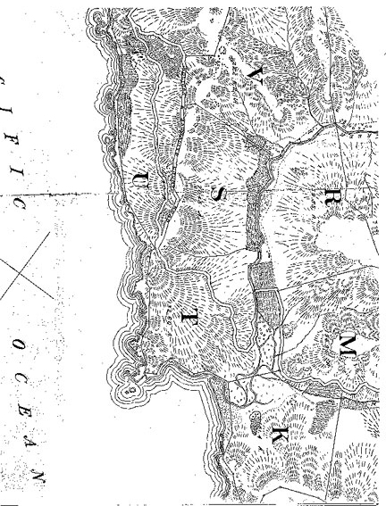
U.S. Coast Survey
. . .
Pacific Coast
North of the Entrance
to the
San Francisco Bay,
California,
1853A larger view of the lower area may be found here.
U.S. Geological Survey Map, 1894 A larger view of the lower area may be found here. A portion of a
Southwestern Pacific Map, 1925A portion of a
U.S. Coast and Geological Survey Map, 1929A portion of a
Corps of Engineers Map, 1942